
4.2.0
Interchange insets
Draw a true-scale inset of any interchange next to the diagram.
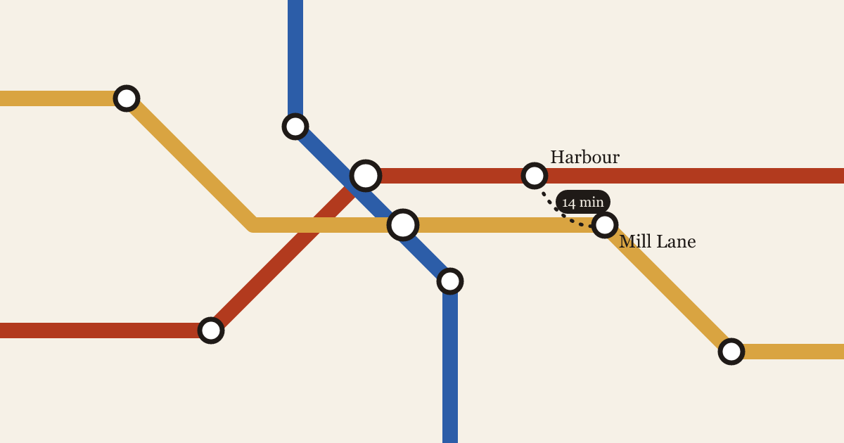
- Insets: select stations on the diagram and choose Add inset to place a true-scale street map of that area beside it
- Walking links between platforms get their own line style with a time label, like
6 min - Insets follow the map’s palette and type settings, and export with the rest of the poster
Read why we built it in The diagram and the street.