Featured
The diagram and the street
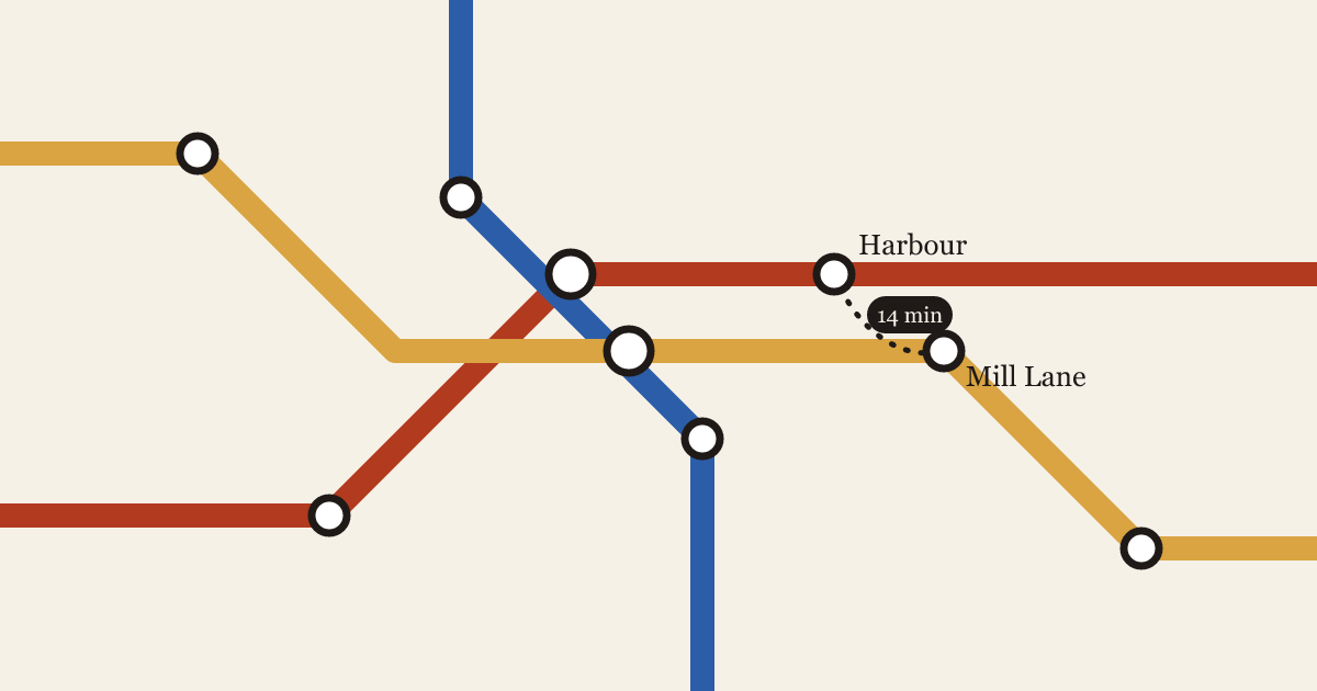
Every transit map lies about distance. The question is which lies help a rider, and which ones send them on a twenty-minute walk between two stations that look next to each other.
 Inés Carvalho4 min read
Issue 14 · Autumn 2026
Essays on how cities move, and how to draw them so people can find their way.
Featured
Every transit map lies about distance. The question is which lies help a rider, and which ones send them on a twenty-minute walk between two stations that look next to each other.
Inés Carvalho4 min read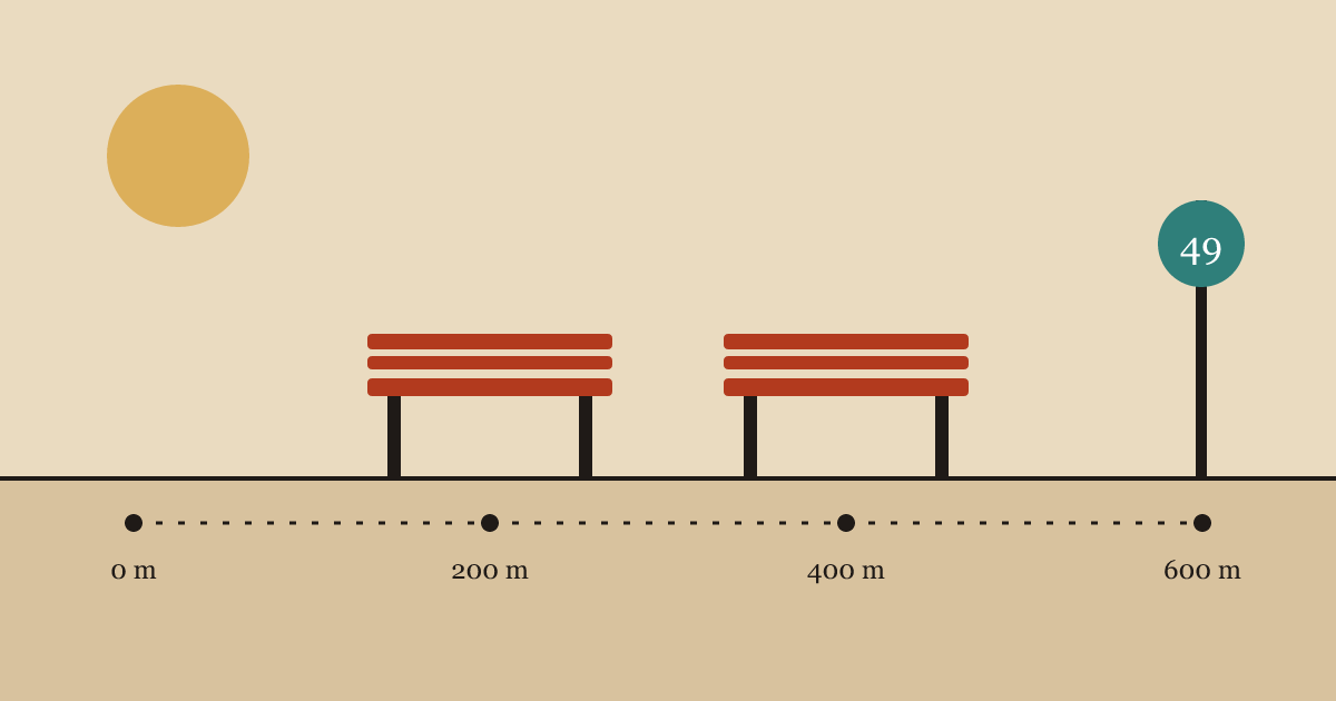
Featured
The cheapest transit upgrade in most cities isn't a new line. It's a place to sit down on the way to the stop.
 Adaeze Nwosu3 min read

After midnight, a city's transit map turns into a different city. How we redrew Vesterby's night buses so the map matches the network riders actually have.
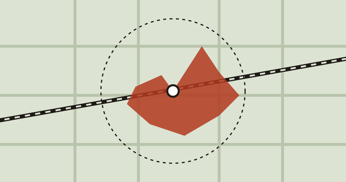
Walking catchments look like circles in planning documents. On the ground, they're shaped by crossings, fences and the length of a red light.