Meridian Atlas updates

Release notes for Meridian Atlas, the tool our cartographers use to draw transit diagrams.

4.2.0

Interchange insets

Draw a true-scale inset of any interchange next to the diagram.
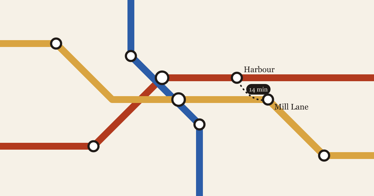
  • Insets: select stations on the diagram and choose Add inset to place a true-scale street map of that area beside it
  • Walking links between platforms get their own line style with a time label, like 6 min
  • Insets follow the map’s palette and type settings, and export with the rest of the poster

Read why we built it in The diagram and the street.

4.1.0

Night palettes and line patterns

A tested palette for posters under street lamps, and dashed or double lines to tell routes apart.

  • New Night palette with four colours that stay readable under sodium and LED street lamps
  • Line patterns: solid, dashed and double, set per line in the Style panel
  • The contrast checker now warns when two lines with the same colour and pattern share a stop
  • Fixed terminus labels overlapping the legend on A1 portrait posters
4.0.3

Walking catchments

Show the real 5, 10 and 15 minute walking areas around any stop.

  • Catchments: right-click a stop and choose Show walking area to draw the area reachable on foot in 5, 10 or 15 minutes, using the street network and crossings
  • Gradients slow the walk down, so catchments on hills come out smaller
  • Fixed PDF exports dropping station names set in a custom font
  • Fixed bundled lines drifting apart by one pixel at 400% zoom