
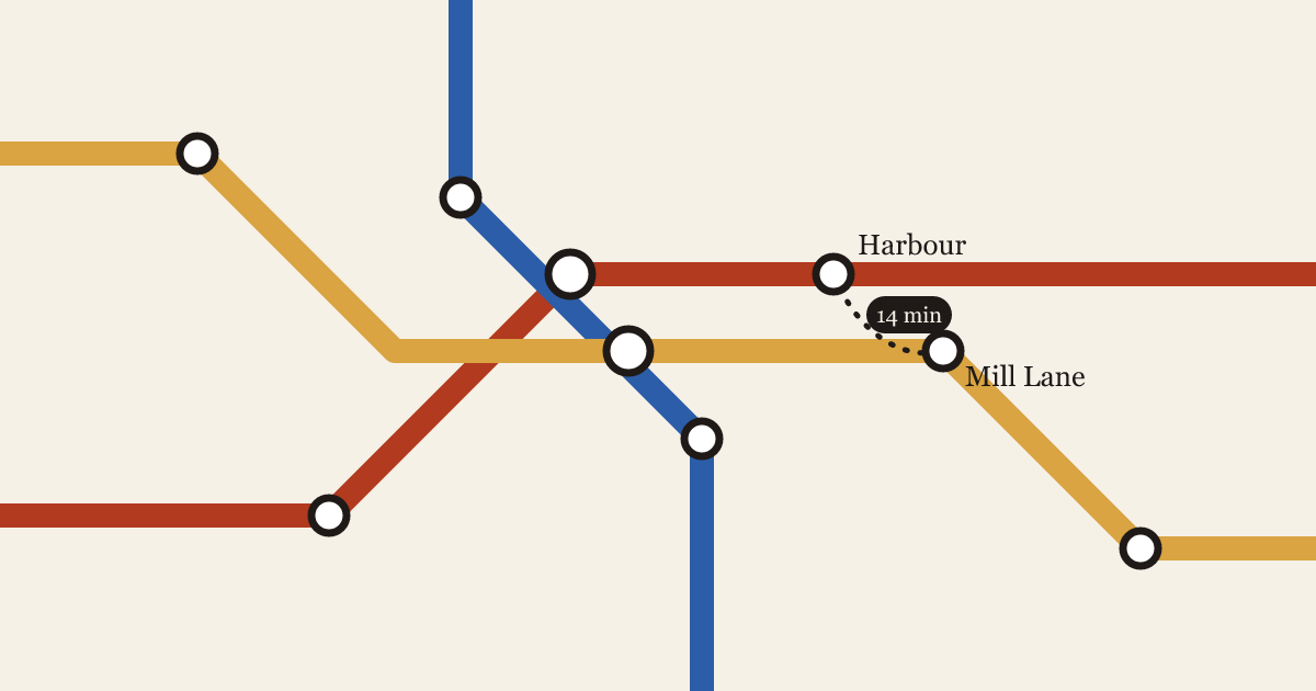
The diagram and the street
Every transit map lies about distance. The question is which lies help a rider, and which ones send them on a twenty-minute walk between two stations that look next to each other.
4 min read

Every transit map lies about distance. The question is which lies help a rider, and which ones send them on a twenty-minute walk between two stations that look next to each other.
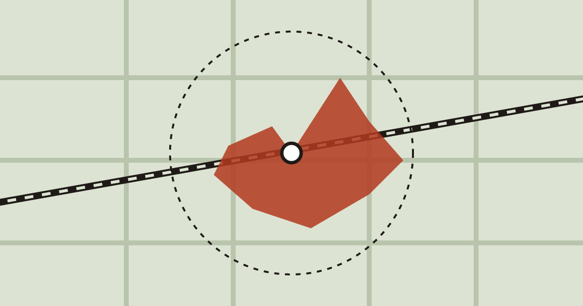
Walking catchments look like circles in planning documents. On the ground, they're shaped by crossings, fences and the length of a red light.