
The ten-minute walk is a design decision
Walking catchments look like circles in planning documents. On the ground, they're shaped by crossings, fences and the length of a red light.


On this page4 sections
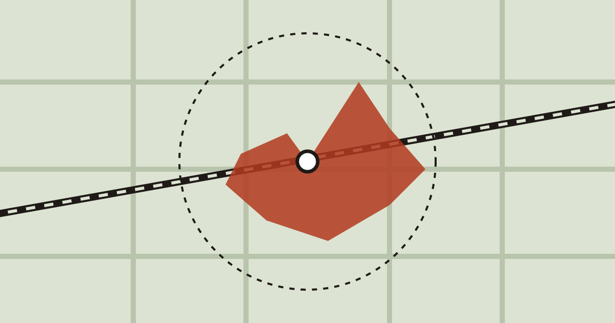
Open almost any station plan and you’ll see a circle drawn around it, 800 metres across. Inside the circle, the plan says, people can walk to the train in ten minutes.
They can’t. Not most of them, anyway.
Circles and real walks
We redrew the ten-minute catchment for four stations in Porto using the actual street network, crossing times and gradients. On average, the real walking area covered 54% of the circle. At Campanhã, where a rail line and a motorway cut across the circle, it covered 31%.
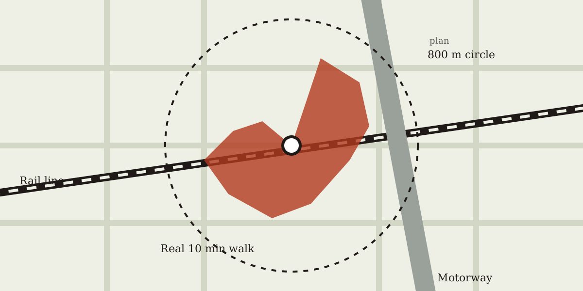
A circle on a plan is a guess about the city. A walk is the city.
What shrinks a walk
Four things took the most area away, in this order:
- Barriers with few crossings. A railway with a footbridge every 900 metres deletes whole neighbourhoods.
- Long signal cycles. A 120-second cycle with a short green for pedestrians adds a minute at every major road.
- Missing desire lines. Fenced car parks and gated estates turn a straight walk into an L.
- Hills. Porto has a lot of them. A 10% slope cuts walking speed by about a fifth.
None of these is fixed by a new station. All of them can be fixed for less than one.
A crossing is worth a station
The most useful finding was also the cheapest. At Campanhã, one new signalised crossing over the inner road, 140 metres from the station, would add about 9 hectares to the ten-minute area. That’s roughly 1,800 residents who could walk to the train who can’t today.
We ran the same test at the other three stations. At each one, two or three small changes, a crossing, a gap in a fence, a footpath through a car park, grew the real catchment by between 15% and 30%. Building a new station to reach the same people would cost a hundred times more.
Who decides the shape
The shape of a catchment is set by dozens of small decisions made by different departments: where the traffic team puts a signal, where the housing developer puts a gate, where the rail operator puts a footbridge. Nobody owns the walk.
We think cities should publish real catchments next to the circles, the same way they publish timetables. It would make a lot of quiet decisions visible.