
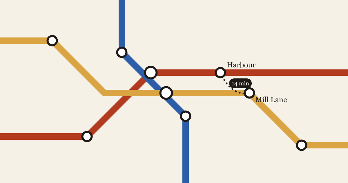
The diagram and the street
Every transit map lies about distance. The question is which lies help a rider, and which ones send them on a twenty-minute walk between two stations that look next to each other.
4 min read

Every transit map lies about distance. The question is which lies help a rider, and which ones send them on a twenty-minute walk between two stations that look next to each other.
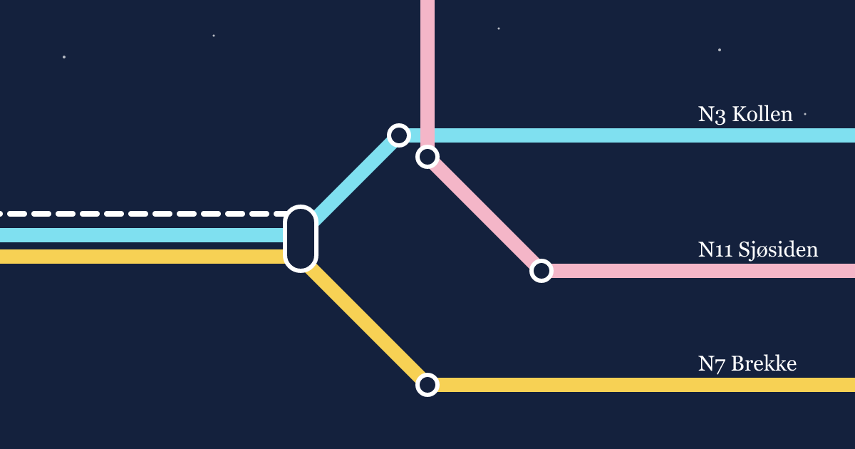
After midnight, a city's transit map turns into a different city. How we redrew Vesterby's night buses so the map matches the network riders actually have.