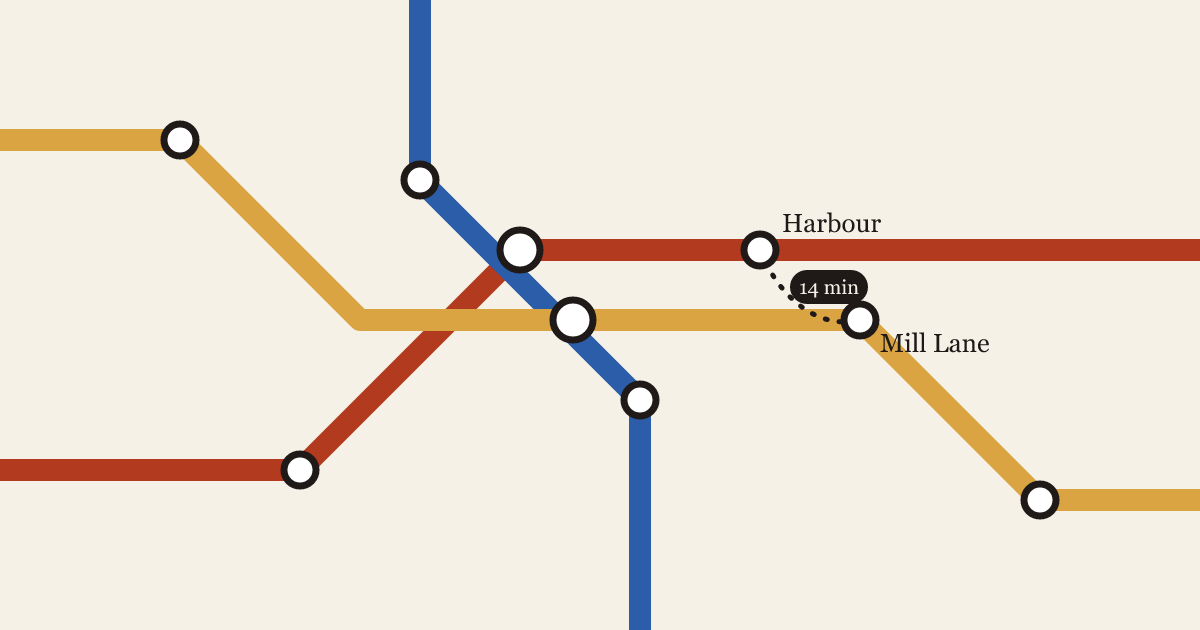
The diagram and the street
Every transit map lies about distance. The question is which lies help a rider, and which ones send them on a twenty-minute walk between two stations that look next to each other.
Inés Carvalho, Tomasz Wróbel4 min read
3 posts
Every transit map lies about distance. The question is which lies help a rider, and which ones send them on a twenty-minute walk between two stations that look next to each other.
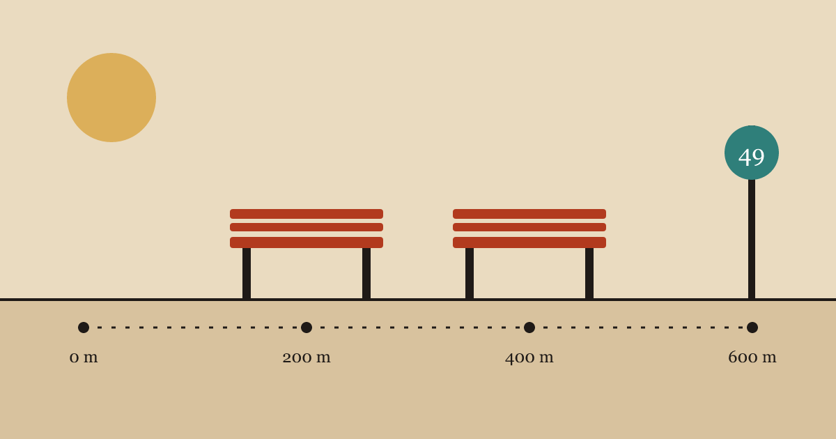
The cheapest transit upgrade in most cities isn't a new line. It's a place to sit down on the way to the stop.
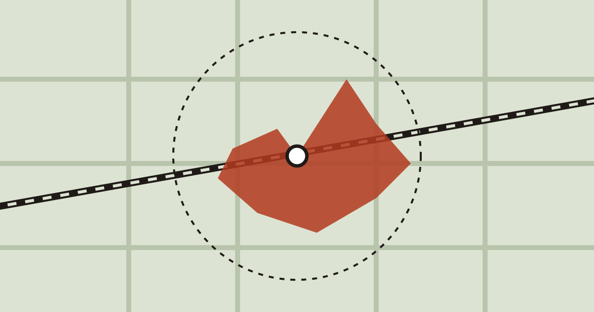
Walking catchments look like circles in planning documents. On the ground, they're shaped by crossings, fences and the length of a red light.